At Gaia GPS, we eat, sleep, and breathe trails—well, maybe not literally, but pretty close. That’s why we’re rolling out the new Gaia Hike Map, designed to take the guesswork out of your next adventure. No more fumbling with multiple layers—just turn it on and go. The Gaia Hike Map is live now with a Premium membership. Simply go to Map Layers and enable it.
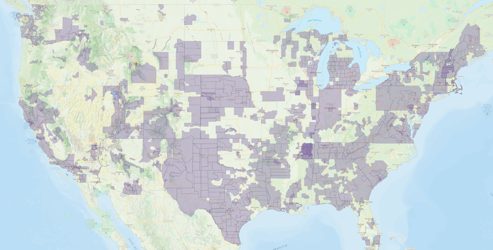
A Global Map Built for Hikers

Whether you’re thru-hiking the Appalachian Trail, exploring the Alps, or just escaping town for the weekend, this global map has your back. No need to stack layers like an overstuffed backpack—everything you need is already here.
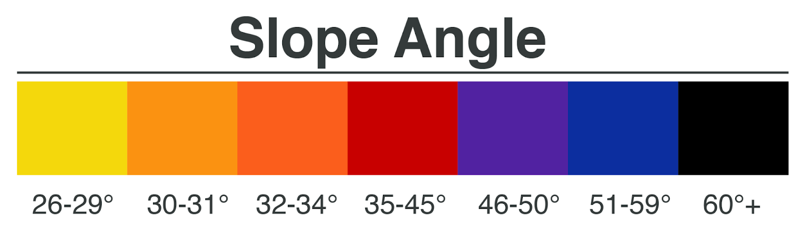
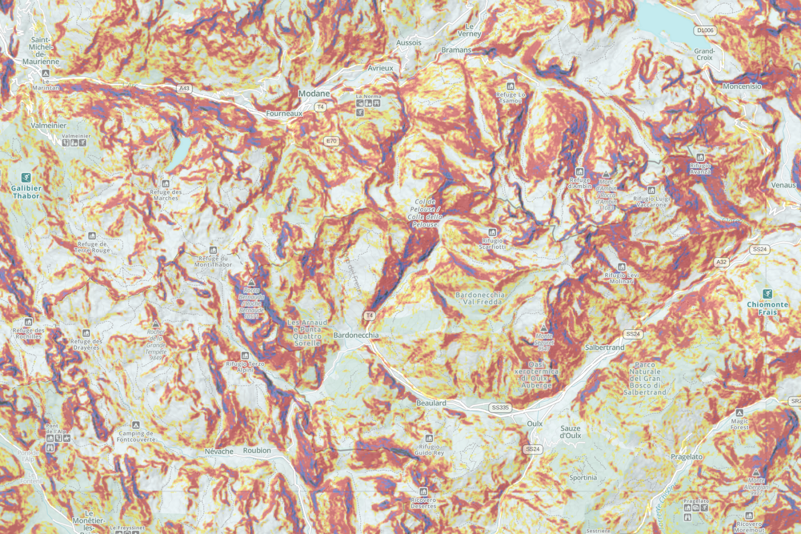
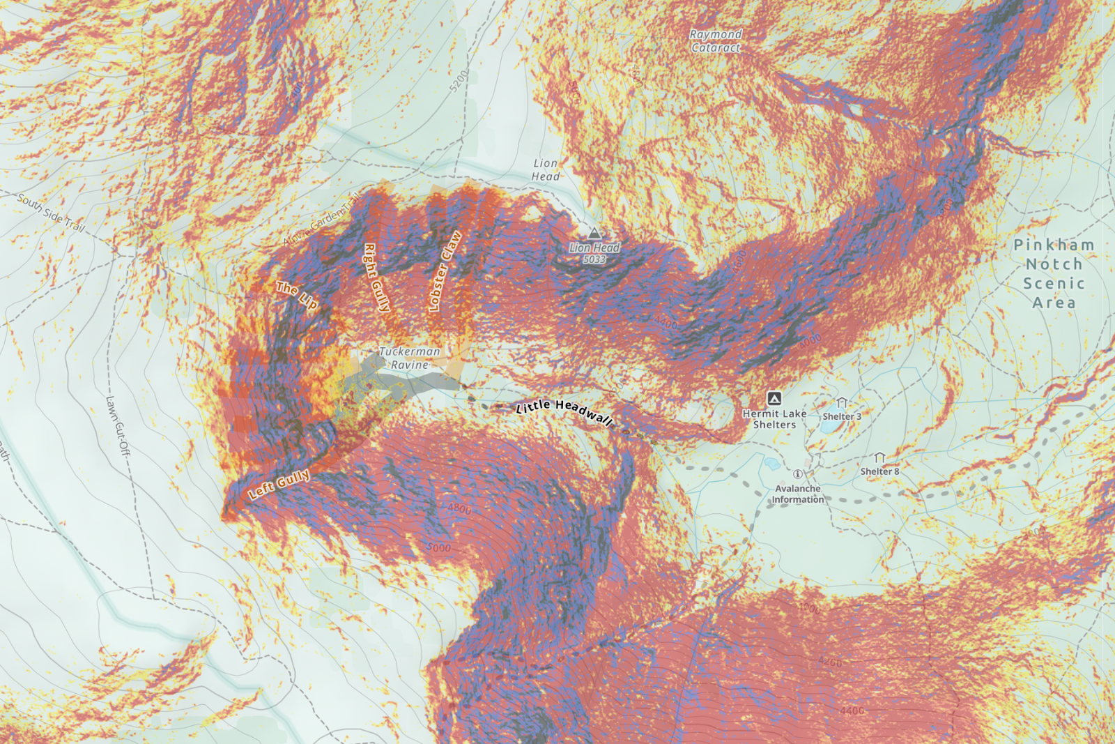
Steepness Overlay: No More Underestimating That Climb
The biggest game-changer? Our new steepness overlay. For the first time in Gaia GPS, we’re color-coding trails to show you just how quad-melting that next section might be. We took special care to analyze hiking and biking activity data in choosing which trails to highlight to provide a best-in-class trail network for hiking. Green means easy, yellow means mellow, orange gets spicy, red is tough, and purple? That’s straight-up brutal.
Love a challenge? Chase those reds and purples. Prefer to keep it casual? Stick to the greens and yellows.
We’re still fine-tuning this feature, and your feedback will help us find the right balance. Let us know how it works on your favorite trails!
More Than Just Trails
The Gaia Hike Map doesn’t stop at paths—it’s packed with key waypoints to keep you moving and well-fed:
- Water Fill-Ups – Hydrate or die-drate, as they say.
- Campsites, Lodging & Food Stops – Whether you’re pitching a tent or hunting for a post-hike pizza.
- Land & Trail Access Info – Know where you can hike and camp without worry.
- Hydrographic Data – Lakes, rivers, and streams so you can plan your next foot soak.
The Gaia Hike Map is available in feet and meters:
- Open Gaia GPS.
- Go to Map Layers.
- Search for Gaia Hike Map and turn it on.
We’ve got more trails ahead, and your feedback helps us keep improving. Tag #GaiaGPS in your adventures and let us know what you think!
See you on the trail (or at the burger joint after).


-9")