

Now available to GaiaPro subscribers, MapBox Satellite Imagery with no labels offers a cleaner map view than the version with labels—perfect if you plan to layer the source with other maps in the app (iOS/Android), layer maps on gaiagps.com, or print your tracks on gaiagps.com.

MapBox Aerial with no Labels

MapBox Aerial with Labels
Add the source from the More Layers menu under the GaiaPro Base Maps category. For detailed instructions, check out the Add Map Sources articles (iOS/Android/Web).

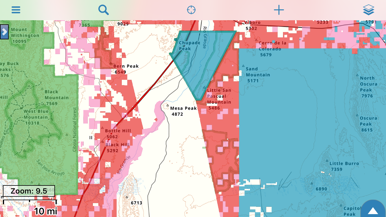
MapBox Aerial with no Labels beautifully displayed with topo layers
Try MapBox Aerial with No Labels, Free
Unsure if you’d benefit from a GaiaPro subscription? Read about the perks of GaiaPro here, and sign up for a free 1-month trial today: https://www.gaiagps.com/user/freetrial.


