Before I jump into the route description, I want to emphasize a few points. Firstly, Bears Ears is an incredibly delicate and culturally significant landscape. Riders must practice leave no trace principles to the utmost standard. We are incredibly fortunate to have access to these lands, but we are simply passing through. Be respectful and stay on marked roads and trails. Obey all national park rules through the Needles District, and no rogue camping while in the park. Secondly, my goal for this route is to share and provide the resources for others to go explore these roads and landscapes. The route is remote and technical. Riders must be comfortable carrying lots of water and be an expert in bike repair. In the most remote sections around Ruin Park, help is extremely far away. You must be self-sufficient. If you are looking for a more beginner-friendly route, see my South Platte Swirl route.
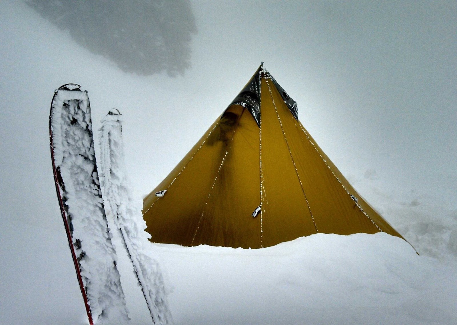
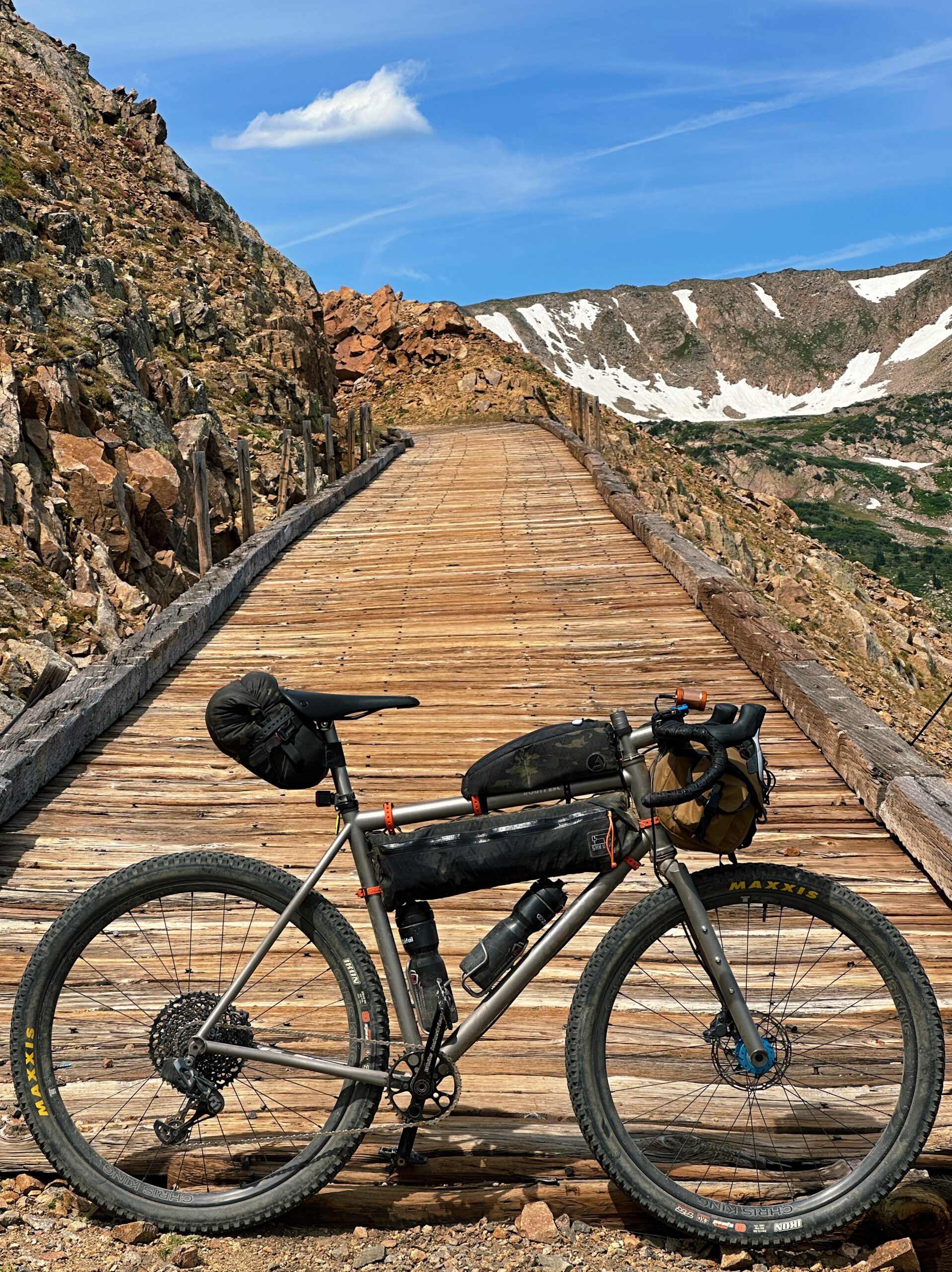
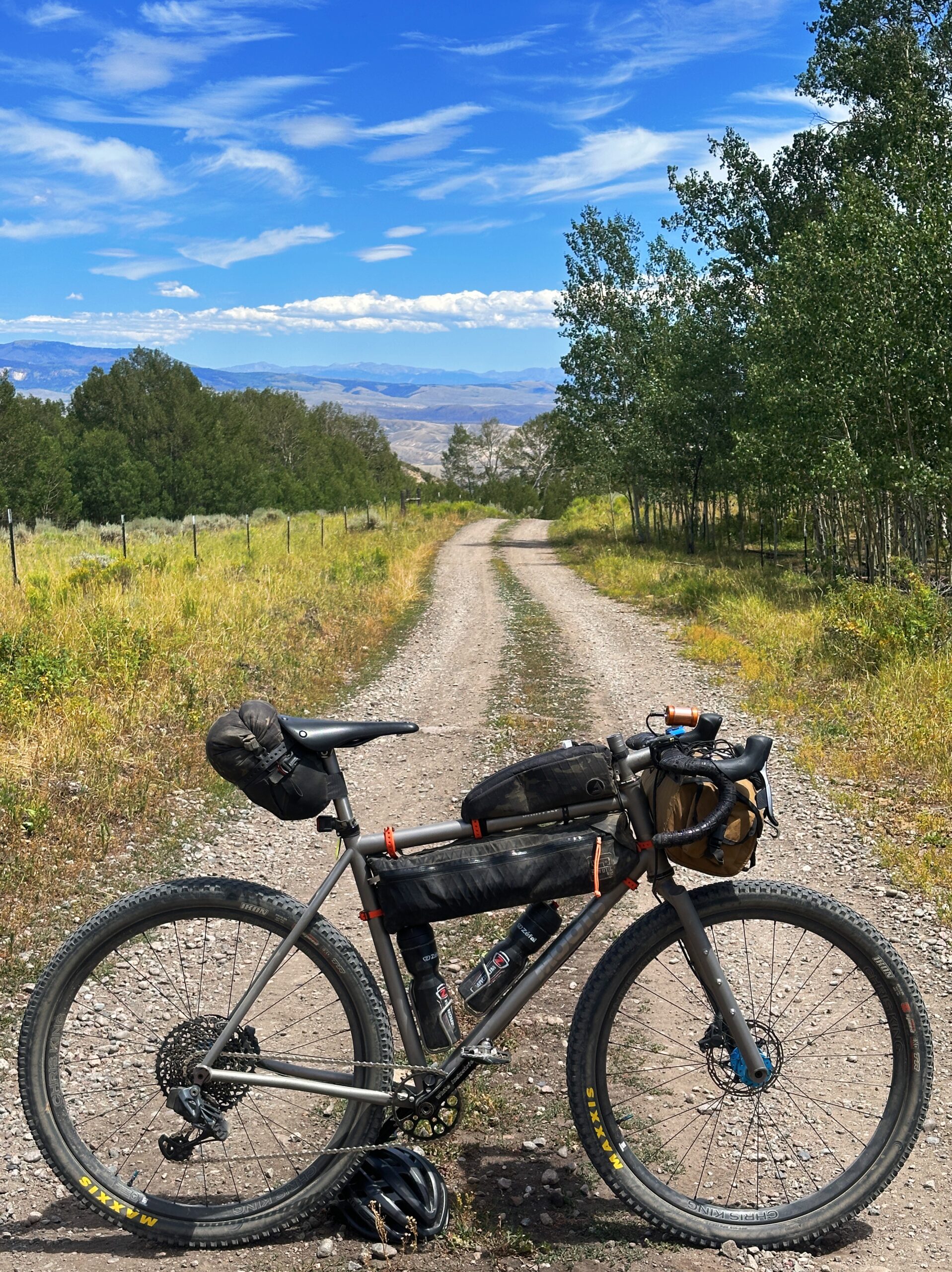
I recommend the route be ridden in a counterclockwise direction for the ultimate flow. 2” tires minimum, but something between 2.4-6” would be ideal. There are some sandy sections, and wide tires are a must. A few other gear recommendations include 7-9L of water capacity and multiple days’ worth of food. You are riding in the desert, and there are only a handful of resupplies and water sources along the way. The ideal time to ride this route is from late September through the end of November. Check the forecast before you go; the route spans from the desert floor to the alpine peaks. Riding the lower elevation terrain in the heat is not recommended.
Okay, now onto the route, “Needles and Sandcastles”. Get ready to go on a roller coaster through interesting terrain and landscapes. It seems like, around every turn, this route provides a special look into the diversity and beauty of the Bears Ears National Monument. From the desert floor around Indian Creek to the high alpine terrain through the Abajo Mountains. Hart Point Road is an excellent staging point for the route with ample spots for camping and parking.
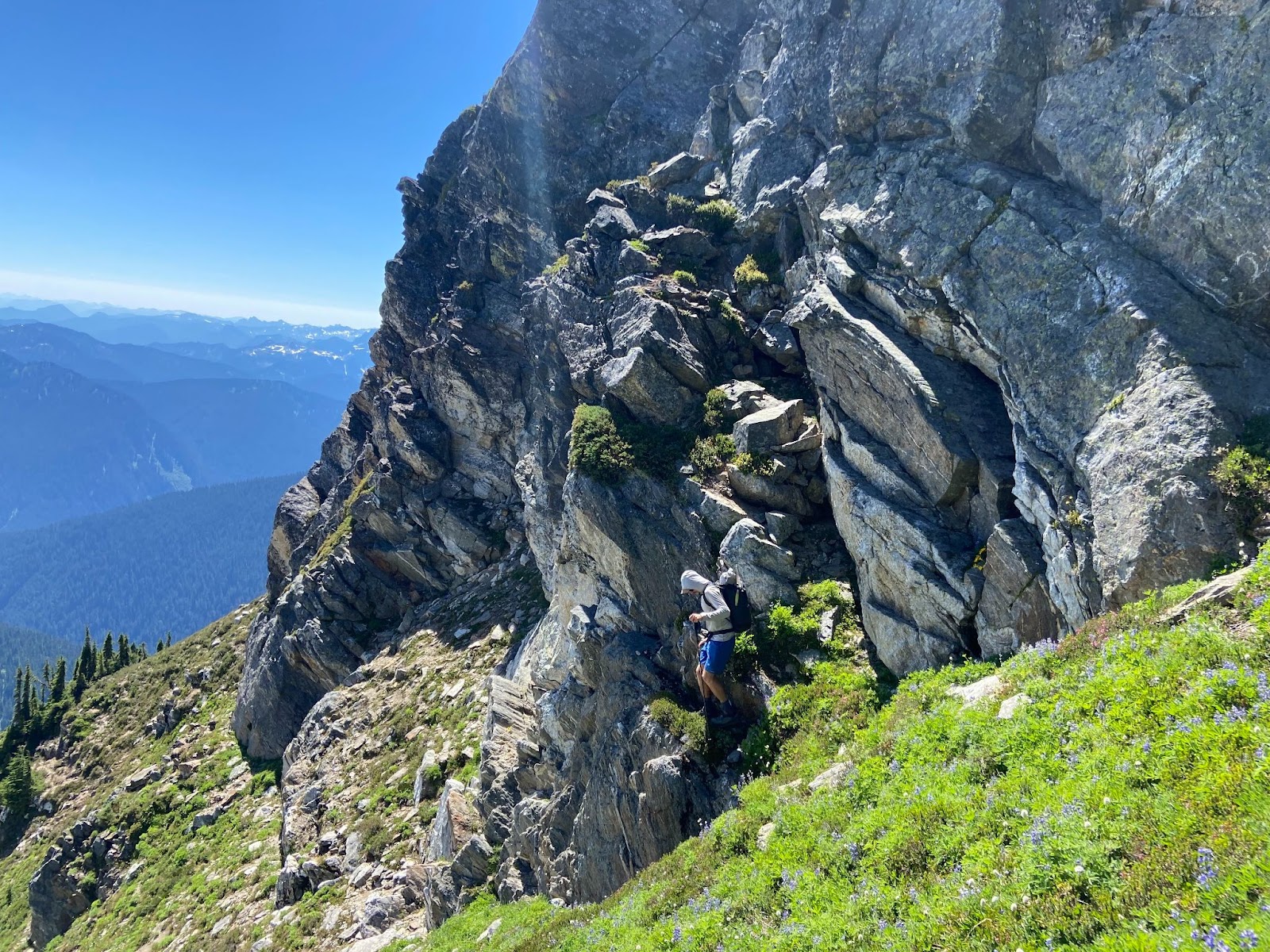
Dropping into Indian Creek marks the beginning of the route. Keep your head on a swivel; there is something jaw-dropping to look at in every direction. Fast miles all the way to the Needles Outpost on paved roads. Stock up on water and snacks before heading into the park. I recommend carrying 7-9L into the park and not riding through the Needles District in the middle of the day. Aim for the morning or afternoon/evening. The riding here is technical, exposed, and dry. There are 3 main cruxes. Elephant Hill, SOB Hill, and Bobby’s Hole. You will be doing some hike-a-bike on these parts.

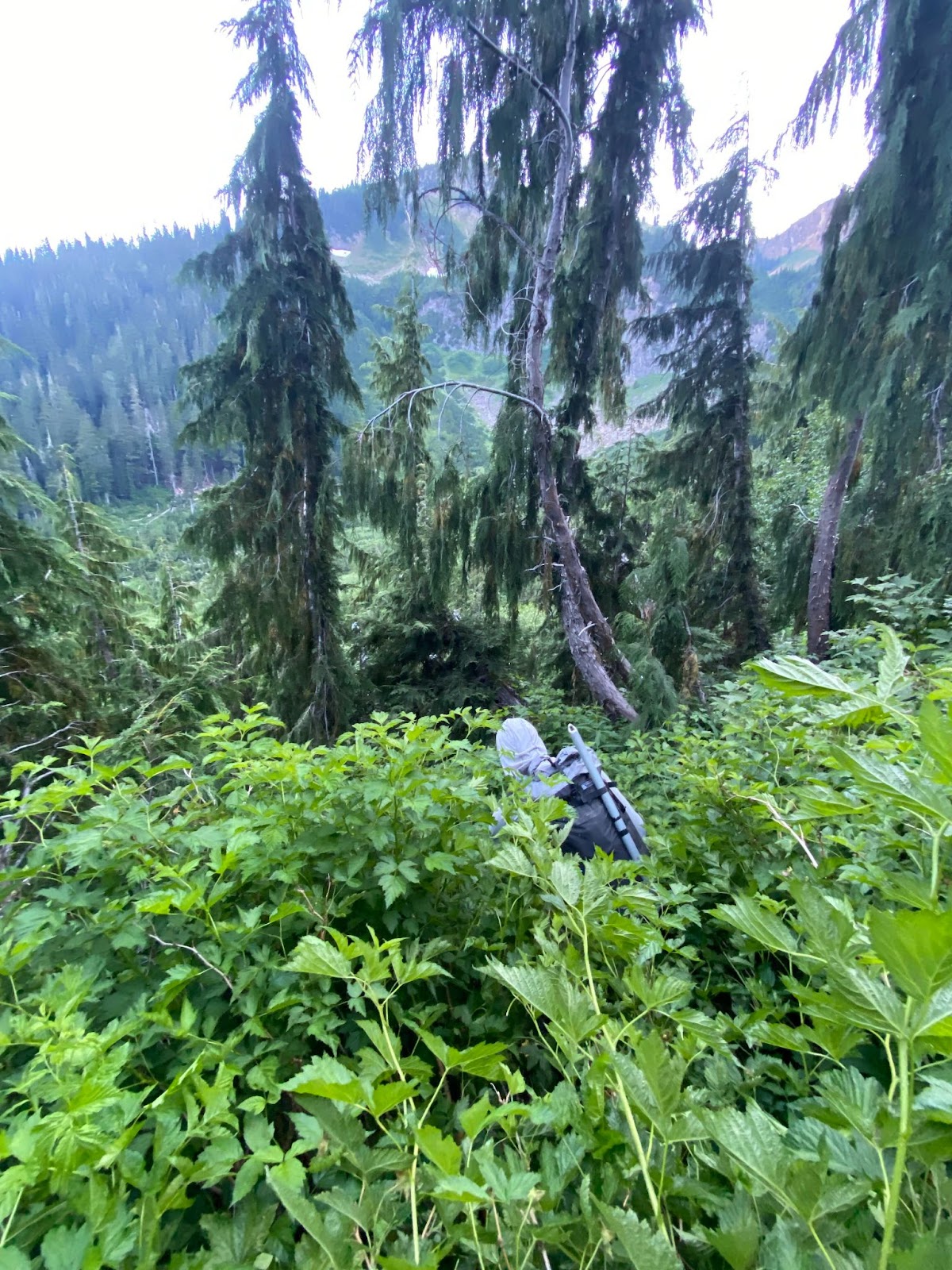
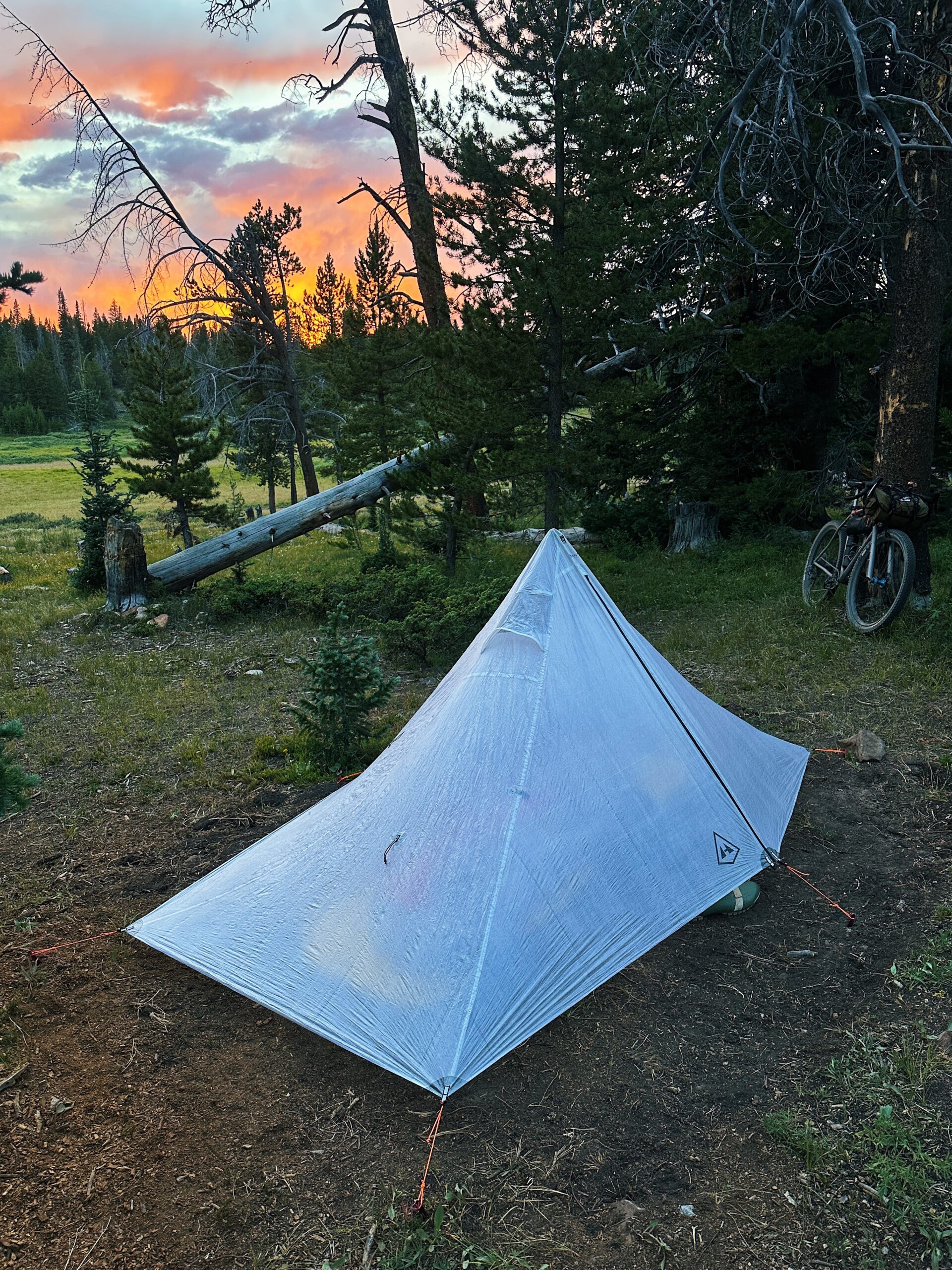
You will find good spots to bivy once you leave the National Park and head up into Ruin Park. Don’t be discouraged by stretches of sandy roads; it’s never super long. The road keeps improving as you head towards Elk Ridge. The road gets significantly better once you enter the Manti-La Sal National Forest. If, for some reason, you want to end the ride or loop back to the car, take Beef Basin Road back down to Indian Creek. I have marked a waypoint at this critical junction on the map.
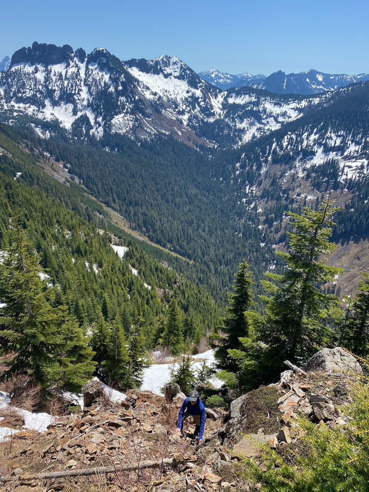
You’ll find water up on Elk Ridge, but you will need to pay close attention to your surroundings. During super dry years, you will have to make the long push to Blanding for your one and only resupply along this route. The riding along Elk Ridge is world-class. From up in the aspen groves, you will get amazing views down into Dark Canyon and the rest of Bears Ears. You will encounter good gravel roads, but be wary of riding after rain or snowstorms. These roads are often impassable after precipitation and get super muddy.
Once in Blanding, enjoy civilization after the long, remote push. The Abajo crossing is the final crux of the route, and thankfully, the alpine terrain provides water (with ample creek crossings) and good road surfaces. The best time of the year to ride these roads is during hunting season, so wear visible clothing and stay on marked roads. You will most certainly encounter hunters and other campers. Enjoy the climb up through aspens and exposed alpine tundra up to North Creek pass over 10,000ft in elevation, the high point of the route. The rest of the route is fast. Enjoy the final plummet back to the entrance of Indian Creek. This is one of my favorite descents in the world. Soak it up, you have traveled over some amazing landscape. Coast back to your car in style and satisfaction!


")