If you’ve ever dreamed of conquering one of Colorado’s majestic 14,000-foot peaks, popularly known as 14ers, you know it’s an adventure unlike any other. The rewards are huge, but so are the challenges. From unpredictable weather to tricky navigation, success hinges on sufficient preparation. Whether you’re tackling your first summit or adding another to your list, start by making a solid plan for your trip. With Gaia GPS as your trail companion, you’ll have powerful tools like offline maps, route planning, and real-time tracking to help you stay on course, keep safe, and hike with confidence. Here’s how to use Gaia GPS to prepare, navigate, and conquer your 14er adventure.
Choose Your 14er
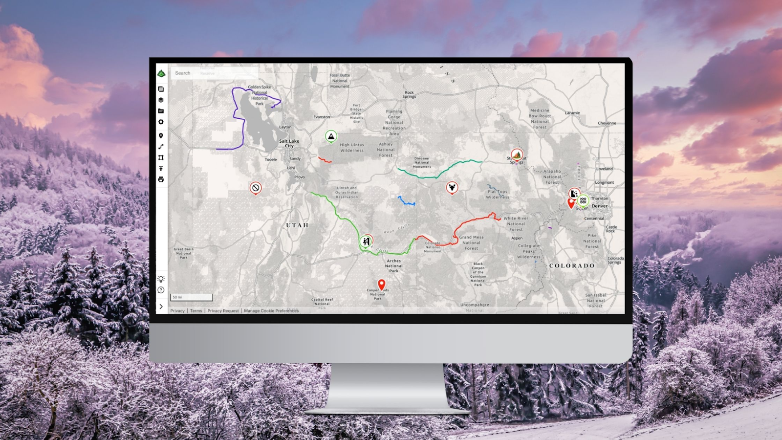
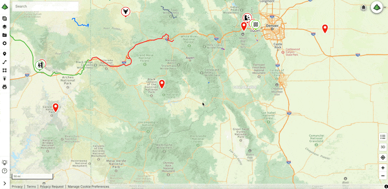
Start by choosing which 14er you want to climb. Use the Gaia GPS search feature to quickly locate specific peaks, and explore the area using the new Gaia Hike map to browse nearby trails and terrain. You can also view the map below and export a GPX file of all 58 Colorado 14ers to import into your account for easy reference. Simply click “View This,” then select “Export” → “GPX.” Once downloaded, import the GPX file into your Gaia GPS account to access all 58 Colorado 14ers anytime. If you’re just getting started with 14ers, popular beginner-friendly options include Mount Bierstadt and Quandary Peak. Both offer well-marked trails and rewarding summit views.
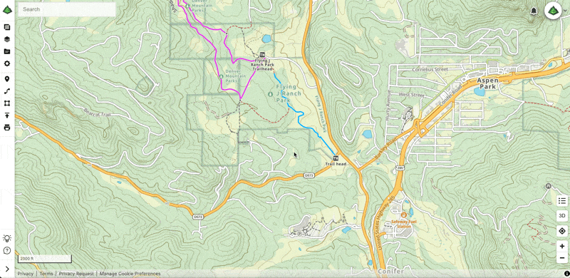
Plan Your Route
After picking your 14er, pinpoint your trailhead and plan your route with Gaia GPS on the web. Take time to map out your hike, and consider including key waypoints or alternate routes. Then, sync your route to the mobile app so it’s ready when you’re on your adventure. Having your route planned out before you head on your adventure ensures that you’re prepared and can focus on the climb ahead when you hit the trail.

Download Offline Maps
Once your route is planned, don’t forget to download your maps for offline use with Gaia GPS Premium. Cell service is often unreliable or completely unavailable in the backcountry, so having offline access is essential. Downloading maps ahead of time ensures you can navigate confidently, view your location, and stay on route even without a signal.
Track Your Progress
On hike day, use Gaia GPS to record your tracks and monitor your progress along your planned route in real time. This feature helps you stay on course by showing your exact location on the map and provides you with valuable information, such as the distance remaining to the summit. Recording your tracks adds an extra layer of safety and confidence, especially on challenging or unfamiliar terrain.

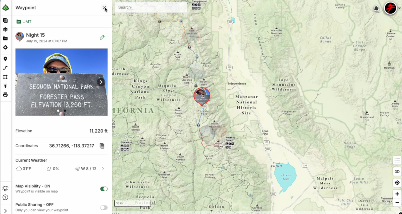
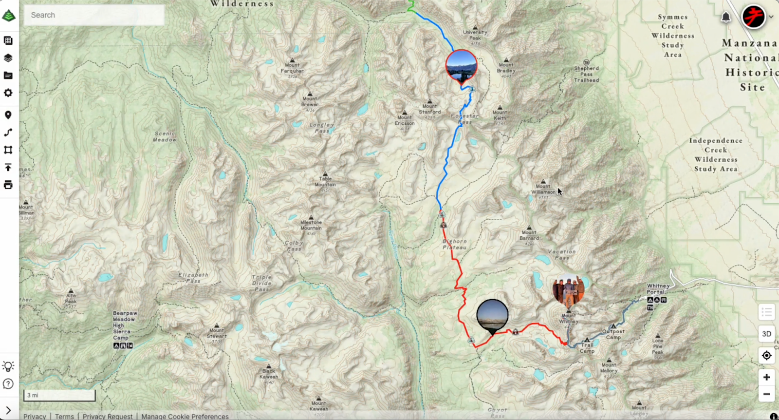
Mark Waypoints as You Go
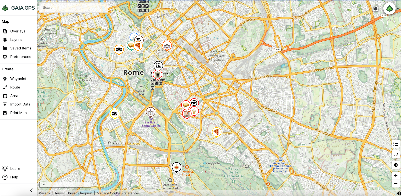
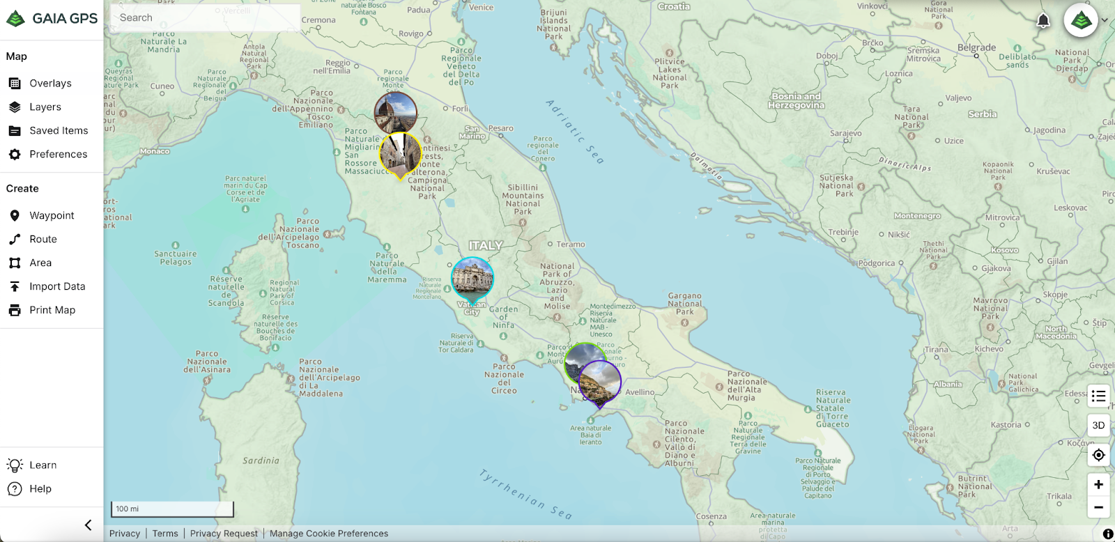
As you make your way up the 14er, consider dropping Waypoints to mark spots you want to remember. Whether it’s a stunning viewpoint, a unique landmark, or a section of trail you want to revisit, using Waypoints lets you capture those meaningful moments and locations for future hikes. They’re a simple but powerful tool to personalize your adventure.
Pro tips:
- Drop a waypoint where you parked before you start your journey. Your future self will thank you after the hike!
- After your hike, bring your map to life with the new custom Photo Waypoint feature. Add photos you captured along the way to your saved waypoints on the web, turning your route into a visual story of your experience. It’s a fun way to relive the adventure!

Bonus Tip: Use Weather Overlays
Gaia GPS offers weather map overlays that are great tools for planning and staying safe on your climb. Before your hike, use the weather overlays, such as the Precip Forecast (24-Hour) overlay, to check forecasted precipitation for the next 24 hours.
Note: The Precipitation Forecast maps update every 12 hours with the latest data from the National Oceanic and Atmospheric Administration (NOAA) Weather Prediction Center (WPC). Because refreshing the maps requires an internet connection, they cannot be downloaded for offline use. However, when you view a forecast map while online, the data is temporarily cached, allowing you to access it in the app for up to 24 hours without a connection.


Safety Reminder: Preparation Is More Than Just Having the Right Maps
While Gaia GPS provides powerful tools for navigation, preparing to hike a 14er is about more than just having the maps available on your phone. High-altitude hiking demands thoughtful planning, so be sure to bring plenty of water, nutritious snacks, and layers of clothing to handle sudden weather changes. Make sure someone knows your plans before you head out, and be ready to adjust or turn back if conditions become unsafe. Combining solid physical preparation, good gear, and navigation with Gaia GPS will help you stay safe and make the most of your 14er adventure.
Your 14er Adventure Starts Now
With the right tools and preparation, hiking a 14er becomes not just a rewarding challenge but an unforgettable experience. Gaia GPS gives you everything you need to plan your route, stay safe, and enjoy the journey from trailhead to summit. So pick your peak, plan your path, and get ready to take on the mountain with confidence.
Wishing you clear skies and breathtaking views—don’t forget to tag @gaiagps in your adventures and share your journey with us!
Happy hiking!


")